Lake Winnebago geology is a fascinating subject that draws geology enthusiasts, families, and weekend travelers to explore its ancient origins and dramatic natural features. Set in the heart of eastern Wisconsin, Lake Winnebago captivates with more than just its waters and shoreline communities—it tells a story sculpted by glaciers and shaped over millennia. Whether you’re tracking fossils, hiking through limestone cliffs, or ice fishing atop glacial till, the land beneath your feet offers a compelling look into earth’s icy past and vibrant present.
The Geological Origins of Lake Winnebago
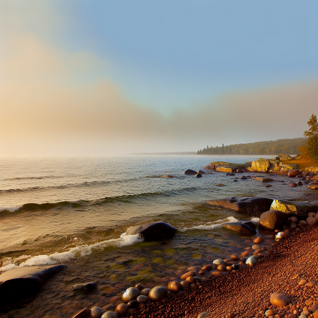
As Wisconsin’s largest inland lake, Lake Winnebago was born from glacial activity during the last Ice Age, around 12,000 years ago. The lake’s geological formation began when the Green Bay Lobe of the Laurentide Ice Sheet advanced and then retreated, carving out a shallow basin in the landscape. This natural depression, later shaped by meltwater erosion and filled with glacial sediments, created the habitat for what would become Lake Winnebago.
Toward the lake’s southern edge near Fond du Lac, a terminal moraine was deposited—an accumulation of debris that marked the glacier’s furthest reach. Today, this moraine shapes the basin’s southern boundary and influences the lake’s unique drainage profile. These glacial features help explain why Lake Winnebago averages just 15 feet in depth, setting it apart from other North American lakes of its size.
Adding to the area’s geological intrigue is the Niagara Escarpment—a dolomitic limestone ridge that arcs through eastern Wisconsin. This formation not only redirected glacial movement but also continues to impact modern water flow and landscape evolution. At High Cliff State Park, visitors can walk along cliffs rising from the lake’s eastern edge, offering both geologic insight and panoramic views.
Fossils and Rock Layers: Unearthing the Past
Lake Winnebago geology shines brightest where ancient rock layers reveal their secrets. The surrounding region’s dolostone and fossil-rich limestone date back over 400 million years to the Silurian period. While these strata sit below most of the lakebed, they surface dramatically nearby.
Ledge View Nature Center, located just 20 minutes east in Chilton, offers guided fossil digs where families and fossil hunters can uncover crinoid stems, trilobite bits, and brachiopod shells—evidence of a time when warm, shallow seas covered Wisconsin. These fossils add depth (literally and metaphorically) to the geological narrative of the region.
North of the lake, the Brillion Wildlife Area reveals glacial drumlins—elongated hills shaped by the flow of ancient ice. They’re best viewed from above, and the area also hosts migrating birds, blending geologic formations with wildlife observation. It’s a favorite spot for photographers and naturalists alike.
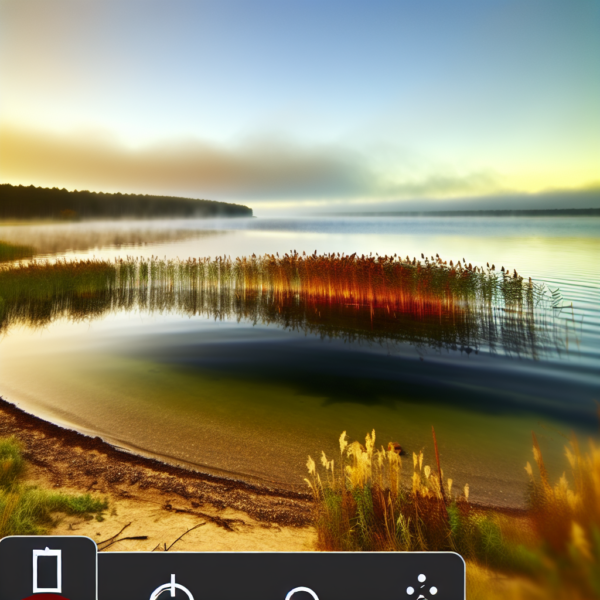
Another hidden gem lies in Calumet County Park. Along the Park Ridge Trail, exposed layers of glacial till and stratified earth tell the story of Lake Winnebago’s icy formation. With short, well-marked paths suitable for all ages, it’s a natural classroom for geology fans.
Waters That Mirror the Land’s History
The hydrology of Lake Winnebago is directly tied to its glacial past. Fed by rivers like the Fox, Wolf, and Fond du Lac, the lake is part of the Lake Winnebago Pool system, which drains into the Lower Fox River before eventually reaching Green Bay and Lake Michigan. The shape and flow of this network were determined by post-glacial drainage patterns established thousands of years ago.
This water system nourishes an ecosystem rich in aquatic life, including one of the largest populations of self-sustaining lake sturgeon in the world. The shallow lake bed allows sunlight to fuel underwater plant growth, which supports a complex food web. Each spring, visitors can witness the sturgeon migration at places like the Sturgeon Trail in New London or the viewing platforms in Shiocton, where these ancient fish return to spawn—a biological journey tied directly to geologic history.
Outdoor Adventures Shaped by Stone and Ice
From hiking to paddling, Lake Winnebago geology sets the stage for memorable outdoor experiences. High Cliff State Park remains the region’s top destination for geology lovers. Trails like the Lime Kiln Trail pass historic lime kilns that once processed local limestone. Ascending the cliffs, hikers enjoy sweeping views of the lake’s glacial basin below.
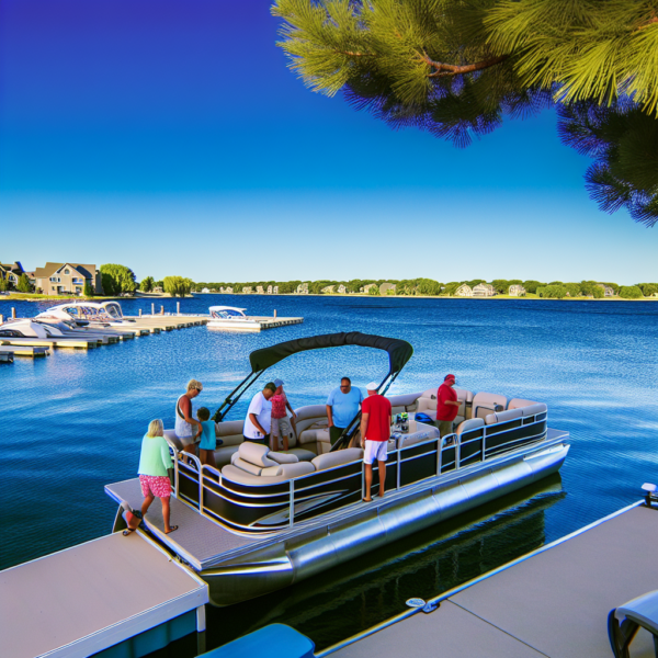
Water lovers can explore the southern tip of Lake Winnebago by paddleboard or kayak. The area around Lakeside Park in Fond du Lac features calm waters ideal for exploring glacial shoreline features and wetland inlets. Scenic and family-friendly, the park is popular for its sunset views over the lake, especially from Oven Island’s grassy knolls.
In winter, the landscape transforms. Ice fishing on Lake Winnebago offers a unique way to engage with the area’s geology. Anglers set up on frozen layers of sediment left by retreating glaciers, patiently awaiting white bass or walleye. Outfitters in Neenah and Oshkosh provide heated shelters and tips for safe spots and good catches.
Culture Rooted in Geological Heritage
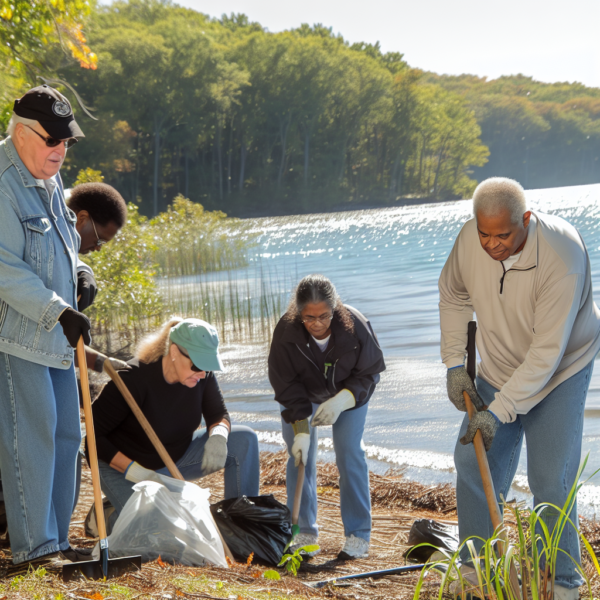
The influence of Lake Winnebago geology extends beyond science into local heritage. Indigenous nations such as the Ho-Chunk and Menominee have long lived alongside these glacial waters, building mound structures and shaping shorelines with their seasonal settlements. Visit the Menominee Tribal Museum in Keshena to learn how generations have lived in harmony with the region’s landforms.
In Neenah, the Bergstrom-Mahler Museum of Glass stands on former quarry terrain. While the museum features intricate glass art, its location is a subtle ode to the region’s dolostone heritage. Walk the surrounding trails to see exposed rock outcrops and glacial erratics—giant boulders deposited by icy hands thousands of years ago.
Seasonal events also reflect the area’s deep connection to the land. Festivals like the Celebrate De Pere or the Indian Summer Pow Wow in Stockbridge blend storytelling, dance, and local food—all honoring a geological legacy that continues to shape community identity.
Insider Tips for Geology Enthusiasts
To fully explore Lake Winnebago geology, check out these locally recommended spots and ideas:
- Gordon Bubolz Nature Preserve (Appleton): Discover kettle depressions, boggy wetlands, and interpretive signs on glacial geology—ideal for a family hike.
- Horicon Marsh: Southeast of the lake, this glacial-era wetland shares geological dynamics similar to Winnebago and offers premier birdwatching.
- Wiouwash State Trail: Bike through scenic farm fields shaped by drumlins and till plains as the trail stretches north from Oshkosh.
- Local lore: Engage with long-time residents, bait shop keepers, or volunteers at historical societies to hear firsthand geology tales and spot little-known landmarks.
A Lake Etched in Time, Alive Through Exploration
Lake Winnebago geology reveals a stunning intersection between ancient forces and modern life. The glacial sculpting that defined this region still influences its ecosystems, human settlements, and outdoor activities. Whether you’re hiking up limestone cliffs, scanning rocks for marine fossils, or gliding across waters carved in ice, you’re engaging with a natural wonder shaped over thousands of years. So the next time you visit Wisconsin, let the land beneath your feet share its story—layer by layer, ripple by ripple.